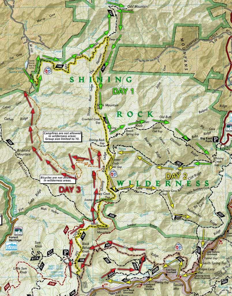
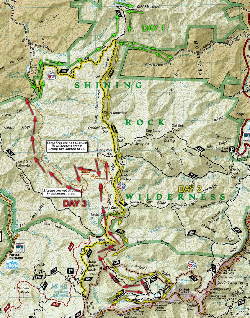
My friend and I spent three days backpacking the Pisgah National Forest in North Carolina. It was quite an adventure. We headed to Daniel Boone Boy Scout camp where the Northern Art Loeb trailhead is located. The majority of our hike was in the Shining Rock Wilderness area, which basically means none of the trails are marked in any way. I did not know this until after we were severely lost the first time (yes we were lost more than once). Maybe it was our map, but this was a rough sketch of our planned hike compared to our actual hike.
Day 1
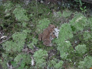
We got on the trailhead and started heading up the forest. It was pretty moist and we ran into a lot of toads. Here’s one that tried to mate with Dan…
This section of the trail was pretty straight forward, it had a pretty good incline and was difficult. After a couple hours we reached the fork in the trail. There was actually several, but it was pretty easy to figure out which trail we needed to get to to get to Cold Mountain. It was another hour or so until we reached the summit of Cold Mountain and we had to walk through a lot of wet forest but eventually we got to a really nice overlook.
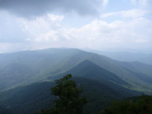
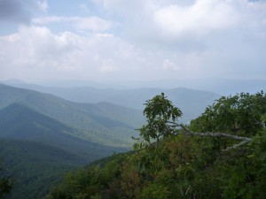
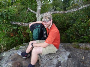
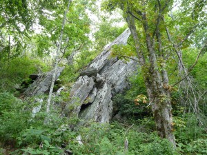
When we hiked down Cold Mountain we had already determined which fork continued the Art Loeb trail… we thought it was the trail marked with pink tape. Unfortunately, we were completely wrong. Though it did give us a place to refill our water reservoirs, we mistakenly followed this trail for a few miles. Even though we kept decending and pretty much knew we shouldn’t be, we still moved on. Eventually we hit a road that shouldn’t have been there. The road was marked with a sign that read, “Kelly Prop”. We took a moment, pulled out our maps and realized we were definitely in the wrong spot — by a couple hours. Our only choice was to turn around and head back to where Cold Mountain and Art Loeb meet. It wasn’t a total loss though, we did get to see an interesting rock cave and pretty flower.
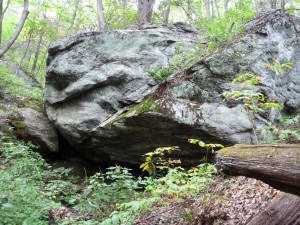
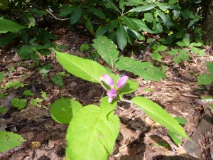
The hardest part of Kelly Prop trail was the fact that I had accidentally stepped on a stump and twisted my knee on the way down. On the way up we probably had one of the most tiring and hardest inclines of the entire trip. It was exhausting and did not agree well with my knee.
Once we reached Art Loeb again we decided to setup camp for the night and re-evaluate our plan. It was starting to sprinkle a little and ended up raining a lot that night. Another small group of backpackers camped with us too. They were from Minnesota and were good company. After dinner and some socializing, we headed for bed and plotted our new adventure for Day 2. We decided to head straight to our planned camping for that day and forsake the area we had planned on reaching on Day 1.
Day 2
We woke up around 8AM and started getting ready for the day. Though it had rained and was pretty windy all night, it wasn’t too cold to enjoy a good night of sleep. After eating breakfast and tearing down our camp, we headed down the proper Art Loeb trail.
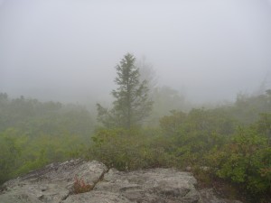
There was some difficult terrain at first, the hardest part though was when we accidentally went off the official trail and were actually scaling the ridge side. Eventually the made-up “trail” ran out and we headed up. It looked like a number of people before us made this same mistake, once we headed up the ridge we found ourselves in a camp which lead to the proper trail. Did I mention that none of the trails are marked in the wilderness area?
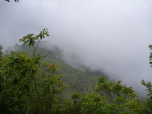
The hike from here was pretty steady, we did see some interesting features…
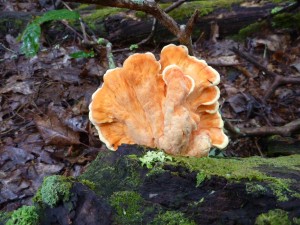
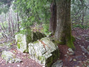
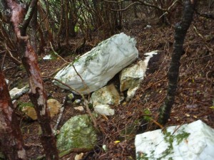
We eventually reached another intersection where we were once again temporarily lost. After asking some people for directions (and receiving the wrong directions) we figured out where we were and where we needed to be. We backtracked a little but eventually headed down Art Loeb again. We ended up in a nice little clearing area and nature was calling. This is where things got interesting.
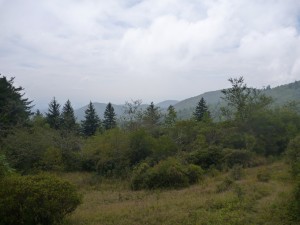
I grabbed my trowel and started digging a proper hole (you figure out why) when all of a sudden I felt like I was getting stung on my arm. I scream out (later described to me as a very manly scream) and looked down at my right arm to see what I had got caught on. There was a yellowjacket continuing to sting me on my shirt. I pulled my shirt away utterly confused at why this thing was so pissed at me. Then I looked down and saw a hug swarm of yellow jackets rising from the ground… right where my trowel was. I immediately ran up the hill toward Dan. A couple stings on my legs later and I was safe… almost. Dan flicked the yellowjacket off my arm and we waited a few minutes for them to calm down. I had to go back down there and get my backpack. Luckily, I was able to recover my pack without another incident. Though my trowel is still sticking out of the ground (sorry, I couldn’t “leave no trace”). Unfortunately, this wasn’t the last time we ran into some yellowjackets.
After all the excitement we started back down Art Loeb to our destination.
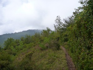
We eventually got to a little clearing on Art Loeb, it was really windy but there were some great scenes.
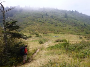
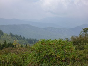
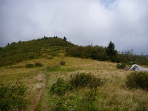
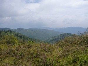
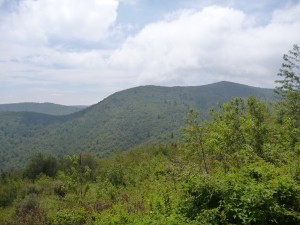
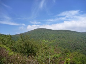
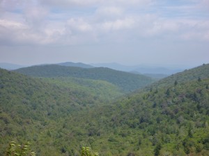
After a while we got to our next intersection. The map was again not very clear, so we asked a few people for directions. One guy was extremely helpful and set us on our way on the Graveyard Ridge Trail.
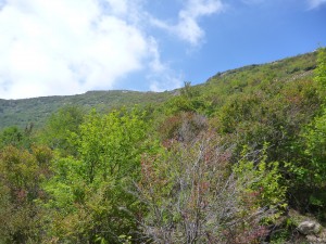
We happened upon a stream crossing the upper Graveyard Ridge Trail… probably one of the best parts of our hike. It was very pretty and relaxing here.
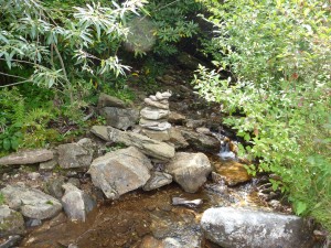
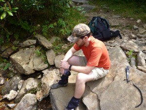
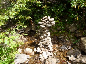
After taking a moment we continued our journey down Graveyard Ridge Trail
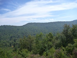
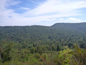
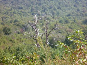
Eventually we reached the first waterfall, called “Second Falls” on our map, but the people there referred to is as “Lower Falls”. We were able to stop for a few minutes to enjoy a cold bath at the base of the water fall. It was rejuvenating!
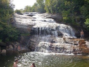
After our quick dip we headed on up to Upper Falls. We were hoping to camp up here, but there were none to be made. Second Falls seemed like the better of the two falls.
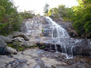
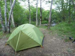
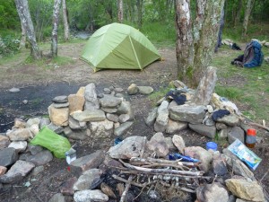
We headed back down the brook for about 1/2 a mile and found a nice secluded place to camp where we could almost hear the water flowing through (it was really windy).
Day 3
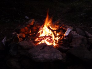
It was a pretty chilly night, I had to put on some extra clothes to stay warm. The sleep was good though. After making a morning fire and eating something warm for breakfast, we headed back on the trail to head home. The view was much more clear this day and we got some great pictures.
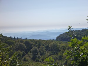
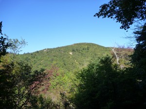
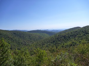
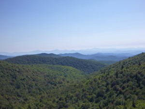
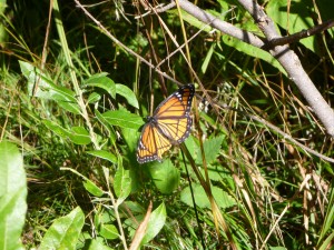
We eventually got to where Graveyard Ridge, Art Loeb, and Ivestor Gap intersect. We headed North on Ivestor Gap were we wanted to get on Little East Fork and back to Daniel Boone.
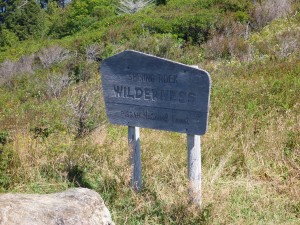
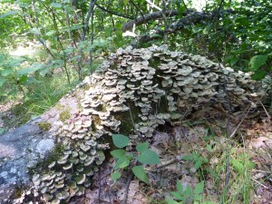
We headed North on Ivestor Gap to eventually go to Little East Fork and then home. At one point Dan was suddenly stung by yet another yellowjacket. We’re not exactly sure what the cause was, I guess you could say it was a ‘sting-and-run’. We did see this interesting tree on the trail…
The Little East Fork trail is rated difficult, but it was pretty easy going North. Mostly a decline, the biggest difficulty for me was dealing with my sprained knee. Oh, and when ANOTHER yellowjacket stung me. At this point we figured that whoever was leading was doing something to piss off a yellowjacket and it would sting the person behind them. But we did get to see this really pretty water sheet on a downed tree…
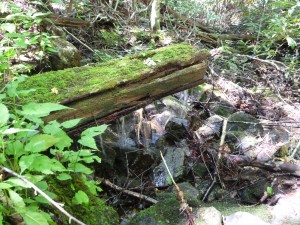
It’s hard to see from that picture, but it was creating a sheet of water falling off the tree. The Pisgah hike was quite an adventure, if I hadn’t sprained my knee, I think it would have been a little nicer for me, but I really enjoyed the hike and the company. We saw some amazing views and met some nice people. My only recommendation, do not buy the National Geographic Trails Illustrated Map, I haven’t been able to find a better one in any stores, but there was a decent one at the Art Loeb Trailhead.
